【遠征トレラン】渋沢駅から秦野駅へ。渋沢丘陵ラン14.6km。

丹沢山地を左手に眺めながら走る丘陵の尾根道。住宅街から静かな山道、湖畔の遊歩道、そして市街地の下り坂へと、一筆描きのように地形の変化を辿るコース。
Running along the ridge with the Tanzawa Mountains on your left, this route weaves through residential streets, peaceful forest trails, lakeside paths, and ends with a blissful descent into the city.
渋沢駅から頭高山登山口までは住宅街のロードを進みます。
From Shibusawa Station, the route starts with a run through residential streets toward the trailhead of Mt. Zukko.
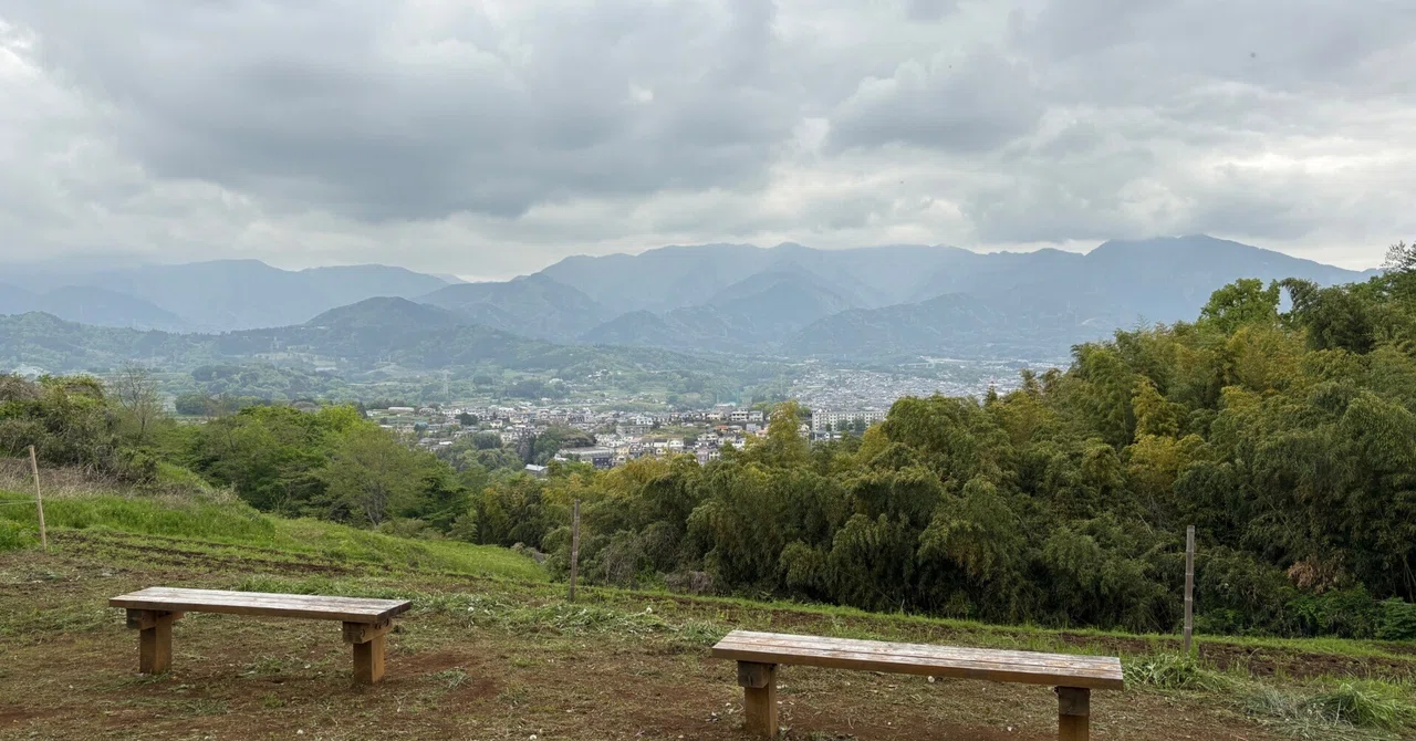
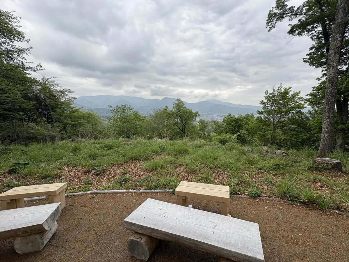
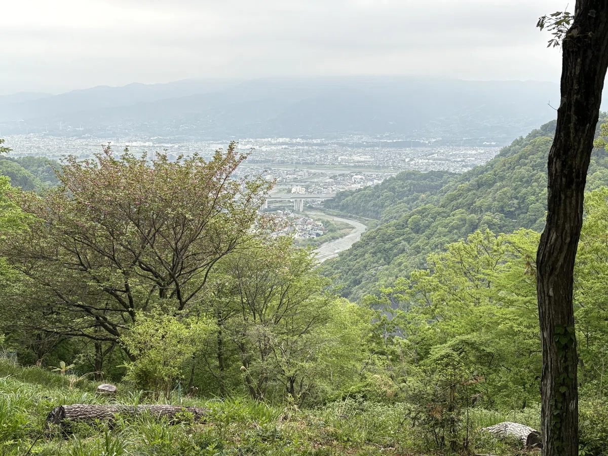
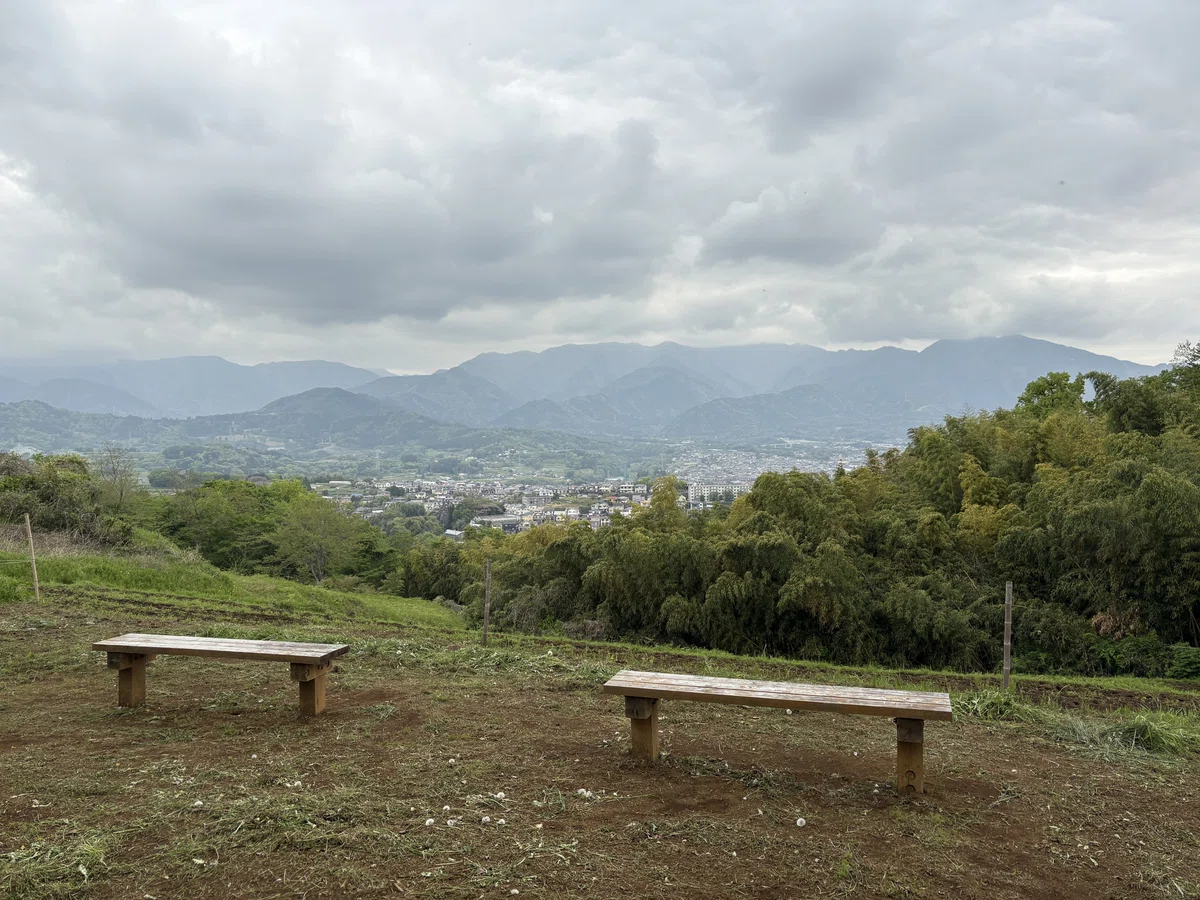
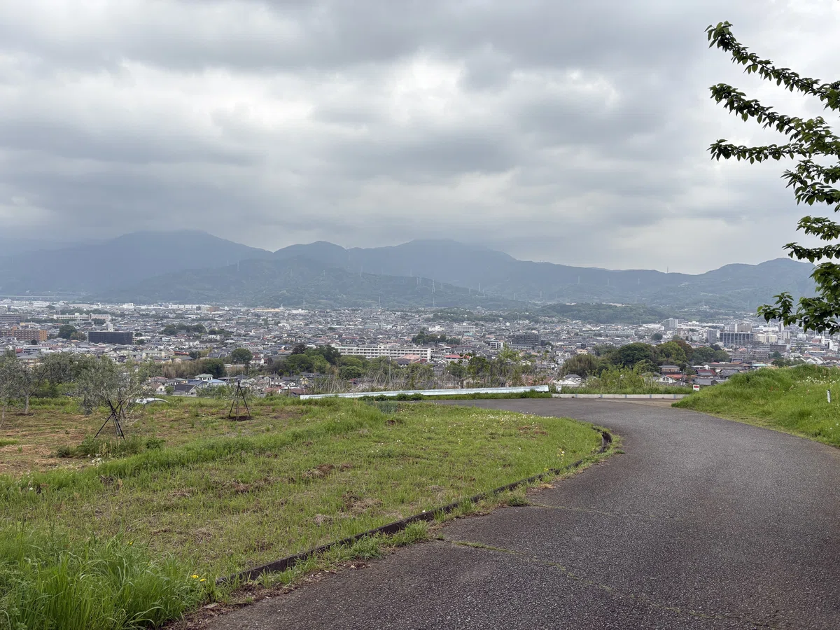
泉蔵寺から一気に登ると、山頂からは左手に丹沢山地、右手に足柄平野の眺望。
A steep climb from Senzoji Temple leads to the summit, offering panoramic views—Tanzawa Mountains to the left, and the Ashigara Plain to the right.
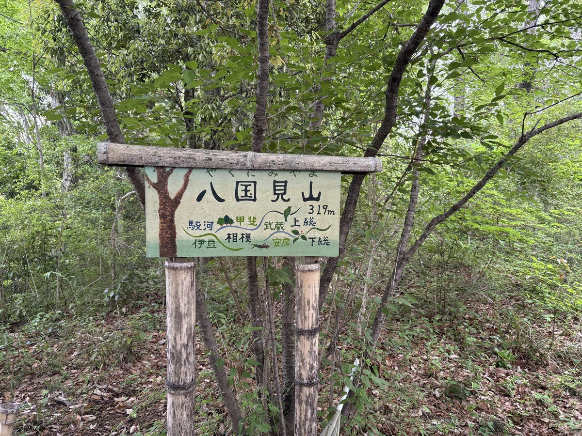
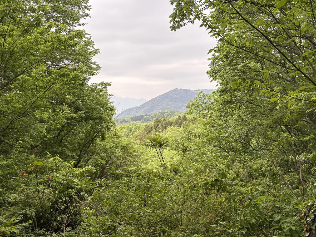
そこから左手に丹沢山地を眺めながら丘陵の尾根沿いを進みます。途中、八国見山に立ち寄り、一旦、栃窪の集落へ。ここまで舗装された農道はあるものの、土の道も多く快適に走れます。
From there, the trail follows the ridge with the Tanzawa Mountains on your left. Along the way, I made a brief stop at Mt. Yakunini before descending into the village of Tochikubo. Although there are some paved farm roads up to this point, much of the route consists of dirt trails, making it a smooth and enjoyable run.
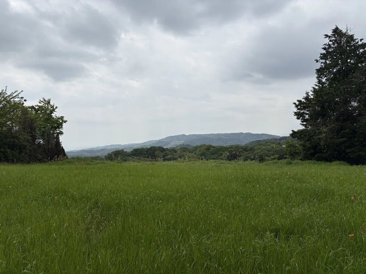
再び浅間台まで登り返し、震生湖の入口へ。畑越しに見える丹沢の山々がほんとに美しい!
Climbing back up to Sengen-dai, the trail then leads toward the entrance of Lake Shinsei. The view of the Tanzawa Mountains across the fields is absolutely stunning!
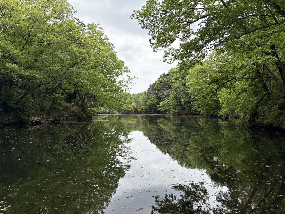
震生湖まで一気に下り、湖沿いの遊歩道をたどり、もう一度尾根まで登り返し。ここからがクライマックスで、秦野の市街地まで舗装道路を下っていくのですが実に気持ちいい道。
From there, it’s a swift descent down to the lake, continuing with a peaceful run along the lakeside path and one final climb back up to the ridge. The climax begins here—a fast, exhilarating descent on paved roads into the cityscape of Hadano.
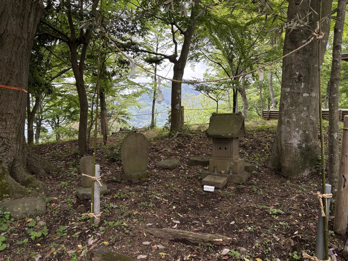
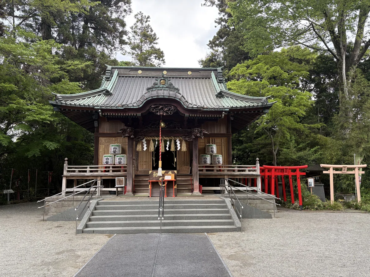
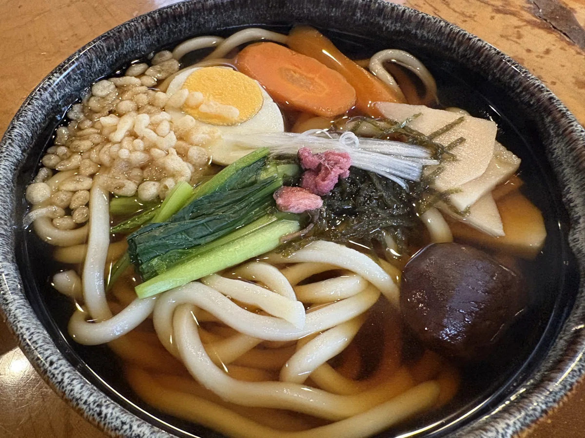
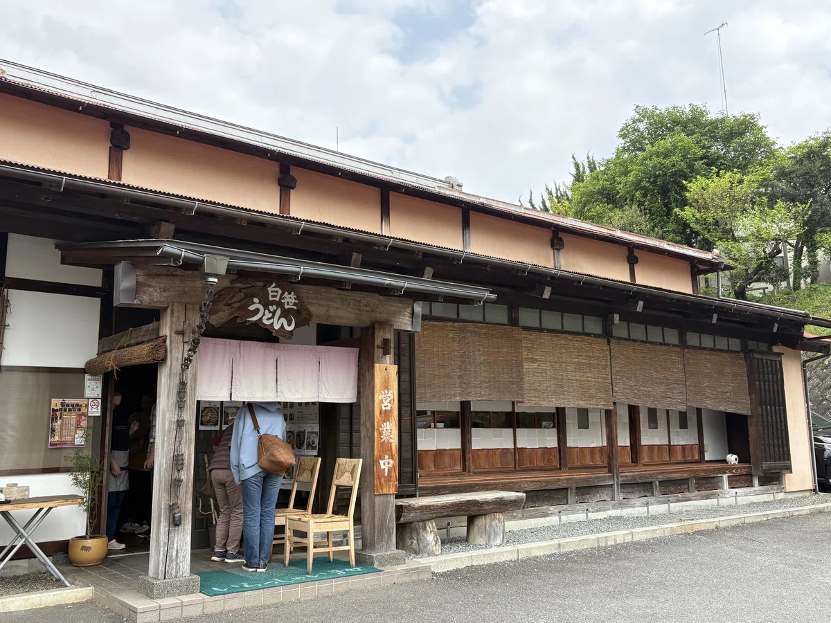
締めに白笹稲荷に立ち寄り、近くの白笹うどん多奈加で太麺のうどんを堪能。秦野盆地の湧水群を縫うように走り秦野駅でゴール!
Before reaching the station, I made a stop at Shirasasa Inari Shrine, then enjoyed a bowl of thick, springy udon noodles at the nearby Shirasasa Udon Tanaka.The run weaves through the abundant spring waters of the Hadano Basin, finishing at Hadano Station.
コース概要 / Course Overview
距離:14.68 km
Distance: 14.68 km
・所要時間:1時間56分(ペース7'55/km)
Duration: 1h 56min (pace: 7'55/km)
・スタート:渋沢駅
Start: Shibusawa Station
・ゴール:秦野駅
Goal: Hadano Station
・獲得標高:385 m
Elevation Gain: 385 m
・通過ポイント:頭高山 → 八国見山 → 栃窪 → 浅間台 → 震生湖 → 白笹稲荷 → 秦野駅
Waypoints: Mt. Zukko → Mt. Yakunimi → Tochikubo → Sengen-dai → Lake Shinsei → Shirasasa Inari Shrine → Hadano Station
