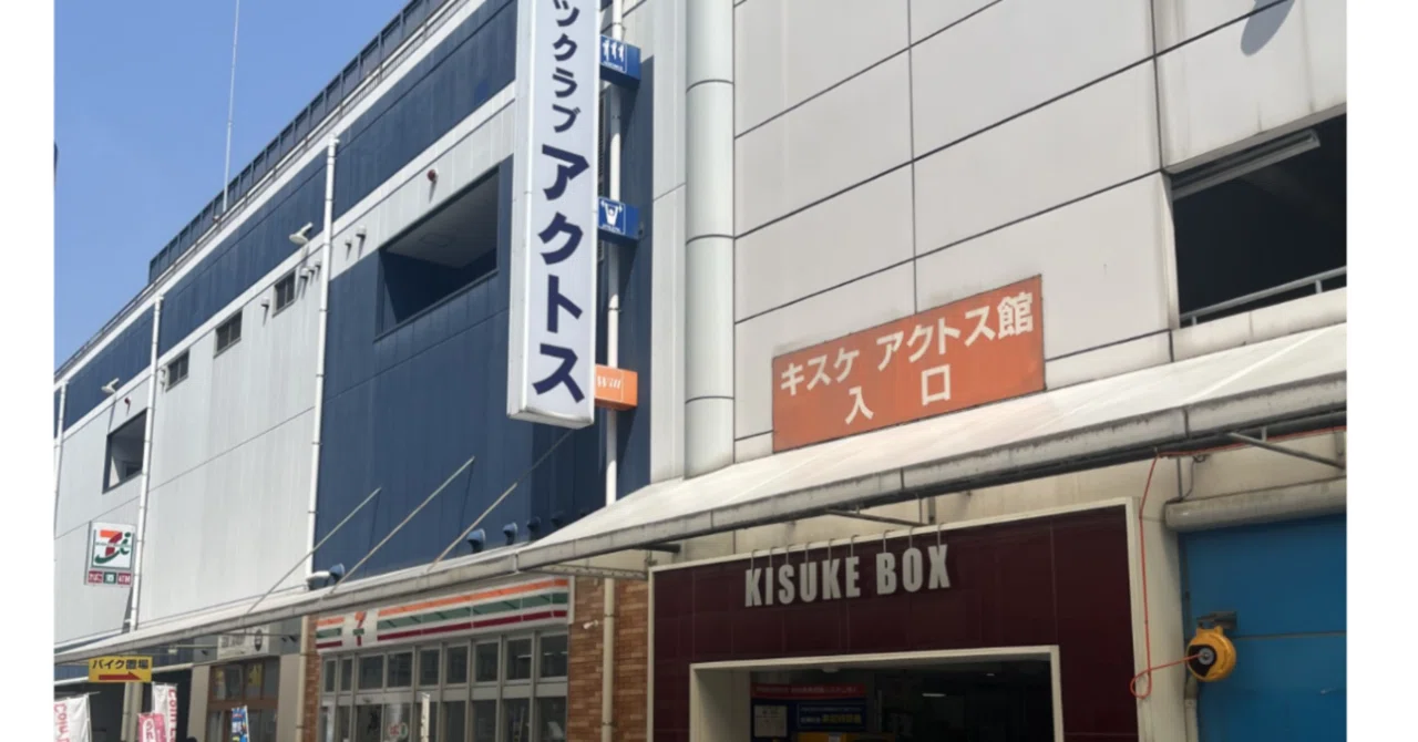
The Day the Map of the City Began to Connect— Walking Through Buses, Bikes, Gyms, and Matsuyama’s Geography — May 30, 2026 (Saturday) R8

Today, I went out with the purpose of checking several practical routes and locations in everyday life.
My main goal was to see whether I could reach the KISUKE Atwill gym by using the Eden shuttle bus or by walking. I also wanted to understand how realistic it would be in rainy weather, and to get a better sense of distance and travel time.
At the same time, I wanted to clarify the spatial relationship between JR Matsuyama Station and Iyo Railway Matsuyama City Station, as well as their connection to the Chifunemachi 4-chome area.
However, I could not find where to obtain the Iyo Railway timetable, so I left that part for another day.
Even so, I was able to understand the relationship between the Bethel Hospital shuttle bus stops and the Chifunemachi 4-chome area much more clearly than before.
Rather than “knowing” these places as points on a map, I began to understand them through actually standing there and moving between them.
Matsuyama City Station, Gintengai shopping street, Okaido, and JR Matsuyama Station are still not fully organized in my mind, but I can feel that they are gradually beginning to connect as lines rather than isolated points.
Today was not a day for final decisions, but rather a day to expand my options by observing distance, transportation, and cost.
Whether I will go to the gym or not is something I would like to think about a little more calmly over time.
It was a day in which the map of the city slowly began to take a more three-dimensional shape in my mind.
#LifeInMatsuyama #EdenNoSono#WalkingDiary#BusTravel#EverydayLife#MappingTheCity#DailyDiscoveries#SeniorLivingJapan#RelocationLife#MindfulLiving
