Log In


Singing River Mine, Shipham, Sedgemoor, Somerset, England, UKi
| Regional Level Types | |
|---|---|
| Singing River Mine | Mine (Abandoned) |
| Shipham | - not defined - |
| Sedgemoor | District |
| Somerset | County |
| England | Constituent Country |
| UK | Country |
This page kindly sponsored in memory of Christopher Richards


Latitude & Longitude (WGS84):
51° 18' 45'' North , 2° 47' 53'' West
Latitude & Longitude (decimal):
UK National Grid Reference:
ST448574
Type:
Mine (Abandoned) - last checked 2023
Köppen climate type:
Other/historical names associated with this locality:
Shipham Old Mine Well
The mine was originally worked in the 18th century for calamine (zinc carbonate), blende (zinc sulphide) and galena (lead sulphide) and reached its peak in the 19th century when a Wells chemist undertook the financing of the mine. Extensive engineering during the 1920s modified the Great Hall and Stinking Gulf for use as an underground reservoir by the water authorities. However the plan was abandoned when water levels were found to be too low. A small stream flows through the mine in parts.
The mine is at the rear of a house on a piece of land that was previously a field and it was not necessary to enter the garden to reach the entrance. With the agreement of previous owners a standard CSCC lock was fitted and there were no access restrictions. However, the situation has changed and the garden has been extended to include the mine. Access is only via a locked grill cover. Key can be obtained from local caving clubs.
This intricate and interesting mine is one of the longest now open on Mendip and offers the visitor a veritable maze of passages, chambers and rifts to explore. Rediscovered by Axbridge Caving Group in 1971, the main passages are laid out along an east-west axis and the entrance shaft enters the mine roughly at the centre. To the east lies a series of impressive and watery chambers, while to the west, an active streamway can be pursued for almost 100 m, crossing a series of attractive deep blue pools.
Select Mineral List Type
Standard Detailed Gallery Strunz Chemical ElementsGallery:
List of minerals arranged by Strunz 10th Edition classification
| Group 2 - Sulphides and Sulfosalts | |||
|---|---|---|---|
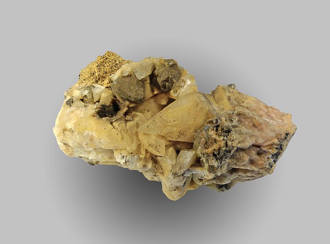
| ⓘ | Galena | 2.CD.10 | PbS |
| Group 5 - Nitrates and Carbonates | |||
| ⓘ | Calcite | 5.AB.05 | CaCO3 |
| ⓘ | Smithsonite | 5.AB.05 | ZnCO3 |
List of minerals for each chemical element
| C | Carbon | |
|---|---|---|
| C | ⓘ Calcite | CaCO3 |
| C | ⓘ Smithsonite | ZnCO3 |
| O | Oxygen | |
| O | ⓘ Calcite | CaCO3 |
| O | ⓘ Smithsonite | ZnCO3 |
| S | Sulfur | |
| S | ⓘ Galena | PbS |
| Ca | Calcium | |
| Ca | ⓘ Calcite | CaCO3 |
| Zn | Zinc | |
| Zn | ⓘ Smithsonite | ZnCO3 |
| Pb | Lead | |
| Pb | ⓘ Galena | PbS |
Other Regions, Features and Areas containing this locality
British and Irish IslesGroup of Islands
Eurasian PlateTectonic Plate
- Rheno-Hercynian BeltOrogenic Belt
EuropeContinent
UK
- England
- Somerset
- Mendip Hills National LandscapeGroup of National Landscapes
- Somerset
This page contains all mineral locality references listed on mindat.org. This does not claim to be a complete list. If you know of more minerals from this site, please register so you can add to our database. This locality information is for reference purposes only. You should never attempt to
visit any sites listed in mindat.org without first ensuring that you have the permission of the land and/or mineral rights holders
for access and that you are aware of all safety precautions necessary.

Singing River Mine, Shipham, Sedgemoor, Somerset, England, UK